

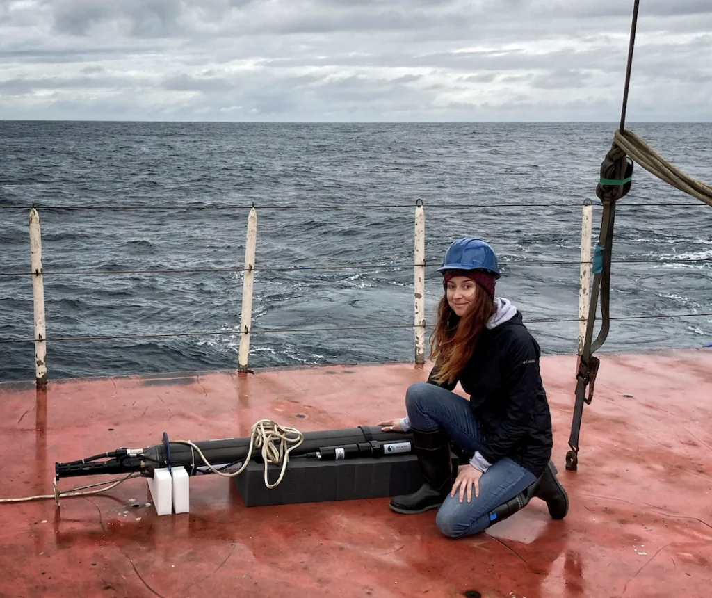
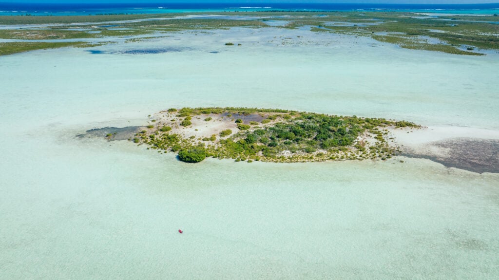
At this moment, the sea surface temperature near Palmyra Atoll—a remote, uninhabited speck of land in the Central Pacific, situated thousands of miles from the nearest continental mountain range—is registering approximately one degree Celsius higher than the historical average. To a casual observer on a passing vessel, this slight deviation might seem inconsequential. However, in the complex machinery of global meteorology, that single degree acts as a primary lever for the movement of the jet stream, serving as a critical indicator for winter precipitation patterns across the Northern Hemisphere.
The fundamental physics of this phenomenon are well-understood by climatologists: warm water heats the overlying atmosphere, which in turn lowers the surface air pressure over that specific region of the ocean. Under normal conditions, the Pacific trade winds blow from east to west, sequestering warm water near Indonesia and keeping the central Pacific relatively cool. When these winds falter, a feedback loop is initiated. A warm patch emerges, shifting the pressure balance and further weakening the trade winds. This allows a massive volume of warm water to slide eastward, reinforcing the warming process. This shifting pool of thermal energy alters where convective storms develop over the open ocean, ultimately redirecting the jet stream and reshaping the storm tracks that will impact the Rockies and other inland regions months later.
The precision with which scientists can monitor these shifts is not the result of manned expeditions or stationary thermometers. Rather, it is the product of the Argo program, a global network comprising approximately 4,000 autonomous robotic floats. Since the early 2000s, these devices have provided a real-time, three-dimensional view of the ocean’s interior. However, this critical infrastructure is currently facing a precarious future. Due to shifting federal priorities and a prolonged lapse in funding renewals under the current administration, the Argo program is at risk of a slow but catastrophic decline.
The Technical Infrastructure of the Argo Network
The Argo program represents one of the most successful international scientific collaborations in history. Each robotic float is designed to operate autonomously for several years. The typical mission cycle involves the float descending to a "park depth" of about 1,000 meters, where it drifts with the deep-ocean currents for approximately nine days. It then descends further to 2,000 meters before beginning a slow ascent to the surface. During this rise, the float’s sensors continuously record temperature, salinity, and pressure.
Upon reaching the surface, the float transmits its collected data via satellite to land-based receiving stations. This data is processed and made publicly available on the internet within 24 hours of transmission. After a short period at the surface, the float adjusts its buoyancy and sinks back to depth to begin the cycle anew.
In recent years, the program has evolved beyond its original scope. The standard "Core Argo" floats have been supplemented by two advanced variants:
- Biogeochemical (BGC) Argo: These floats are equipped with sophisticated sensors that measure oxygen levels, pH (ocean acidity), nitrate concentrations, and chlorophyll. This data is vital for understanding the ocean’s health, its ability to support fisheries, and its role in the global carbon cycle.
- Deep Argo: While standard floats are limited to the upper 2,000 meters, Deep Argo floats are engineered to withstand the crushing pressures of the abyss, descending to depths of up to 6,000 meters (nearly four miles). This allows scientists to monitor the "bottom water" where significant portions of the planet’s excess heat are stored.
A Chronology of Oceanographic Innovation
The history of the Argo program is a timeline of rapid technological advancement and expanding global cooperation.
- 1999: The Argo program is officially introduced as a pilot project, named after the mythical Greek ship Argo to signify its partnership with the Jason satellite altimeter missions.
- 2000–2007: The global fleet scales up rapidly. By November 2007, the program reaches its initial target of 3,000 active floats, achieving the first-ever global "snapshot" of the upper ocean.
- 2010s: Scientists begin utilizing Argo data to calculate the Earth’s energy imbalance with unprecedented accuracy. Research confirms that the oceans absorb more than 90% of the excess heat trapped by greenhouse gas emissions.
- 2016: The BGC-Argo and Deep Argo initiatives are formally integrated into the long-term mission plan, aiming to expand the network’s capabilities into the deep ocean and biological monitoring.
- 2020–2023: The program maintains a steady state, with data used in over 500 peer-reviewed scientific publications annually.
- 2024–Present: The program enters a period of high financial uncertainty. A crucial five-year grant from the National Science Foundation (NSF), which funded the deployment of 500 BGC-Argo floats, has expired. A renewal proposal has sat with the NSF for over 20 months without a formal response, a process that typically takes six months.
The Economic Efficiency of Robotic Research
Before the advent of Argo, oceanographic data was gathered almost exclusively by research vessels. While ship-based measurements remain the "gold standard" for precision, they are prohibitively expensive and geographically limited. A single day of operation for a modern research vessel can cost between $25,000 and $50,000. These ships can only be in one place at a time, and they often avoid the most remote or storm-tossed regions of the ocean.
In contrast, the Argo network provides a continuous, global presence at a fraction of the cost. Dr. Shawnee Traylor, a chemical oceanographer and member of the POW Science Alliance, notes that each individual profile generated by an Argo float costs approximately $200. "We now have a daily snapshot of the ocean at very little cost," Traylor explains. "The data is then made freely available to the public within a day."
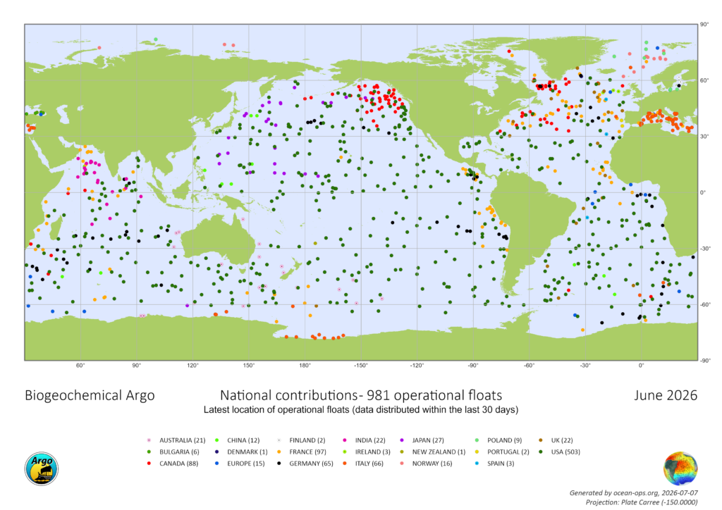
The United States has historically been the primary driver of this initiative, deploying and maintaining more than half of the global fleet. However, the current funding freeze threatens to dismantle the domestic manufacturing and expertise required to keep these robots in the water. Without the steady replacement of aging floats, the "data density" of the network will begin to thin, leading to "blind spots" in our understanding of the ocean.
Scientific Implications: Heat, Carbon, and Sea Level Rise
The scientific stakes of defunding Argo extend far beyond academic curiosity. The ocean serves as the planet’s primary thermal regulator and carbon sink. It absorbs approximately 30% of all anthropogenic carbon dioxide emissions, a process that mitigates atmospheric warming but leads to ocean acidification.
Furthermore, the ocean acts as a massive heat reservoir. Dr. Traylor describes the scale of this absorption in stark terms: "It’s like exploding 12 atomic bombs in the ocean each second. We only know those numbers because of Argo." This heating causes thermal expansion—the physical expansion of water as it warms—which accounts for roughly one-third of global sea-level rise.
For coastal communities, Argo data provides the "early warning" necessary to predict the rate of sea-level increase and the changing intensity of storm surges. For inland communities, the data is the foundation of long-range weather forecasting. Every modern weather model, from those predicting the path of a hurricane to those estimating the winter snowpack for agricultural planning, relies on the subsurface ocean temperatures provided by Argo.
"Satellites capture the surface, but forecasters need that subsurface picture to understand what’s brewing below and when we’ll see it in the weather," says Dr. Traylor. Sparser data directly translates to less reliable forecasts for extreme weather events, reducing the window of time that communities have to prepare for floods, droughts, or blizzards.
Political Landscape and the Legislative Precedent
The current funding crisis for Argo is set against a broader backdrop of scientific budget cuts. Under the Trump Administration, grants for oceanographic research have faced significant scrutiny, with some funding streams slashed by half over the last year. The lack of response to the NSF grant proposal has left program leaders in a state of "limbo," unable to plan for future deployments or retain specialized staff.
"We haven’t been told no yet, but we’re running out of time," Traylor warns. "At a certain point, we start losing jobs and decades of critical technical expertise."
There is, however, a legislative precedent for saving critical ocean infrastructure. Recently, the Ocean Observatories Initiative (OOI)—another vital network of sensors—faced similar threats of dismantling. That program was preserved through a rare show of bipartisan support in Congress. In June, U.S. Senators Jeff Merkley (D-OR) and Lisa Murkowski (R-AK) led a coalition of 11 senators in a formal letter to the NSF, arguing that dismantling such networks jeopardized public safety and decades of prior research. The intervention was successful, and the decision to scrap the OOI was reversed.
Advocates for the Argo program are now looking for a similar "win." They argue that the program’s utility is so broad—serving the military, commercial fisheries, maritime shipping, and local governments—that its preservation should transcend partisan politics.
Conclusion: The Risk of a Data-Silent Ocean
If funding is not secured within the next fiscal cycle, the U.S. contribution to the Argo fleet will begin to atrophy. Within two years, the degradation of data quality will manifest in less accurate weather models and a diminished ability to track the impacts of climate change.
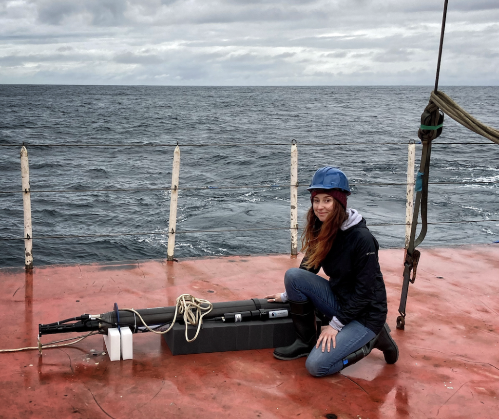
The ocean and the atmosphere are a single, coupled system. To ignore the subsurface processes of the ocean is to fly blind into a future defined by increasing climatic volatility. As Dr. Traylor emphasizes, the connection is universal: "Even if they’ve never seen it, everyone is deeply tied to the ocean. People who care about winter’s disappearance should also care about the ocean data that can tell us how quickly that’s coming."
The Argo program has revolutionized our understanding of the planet over the last 25 years. Whether it continues to provide this "vital signs" monitoring for the Earth depends on whether policymakers view the $200 price tag of a data profile as a cost to be cut or an essential investment in national and global security.
