

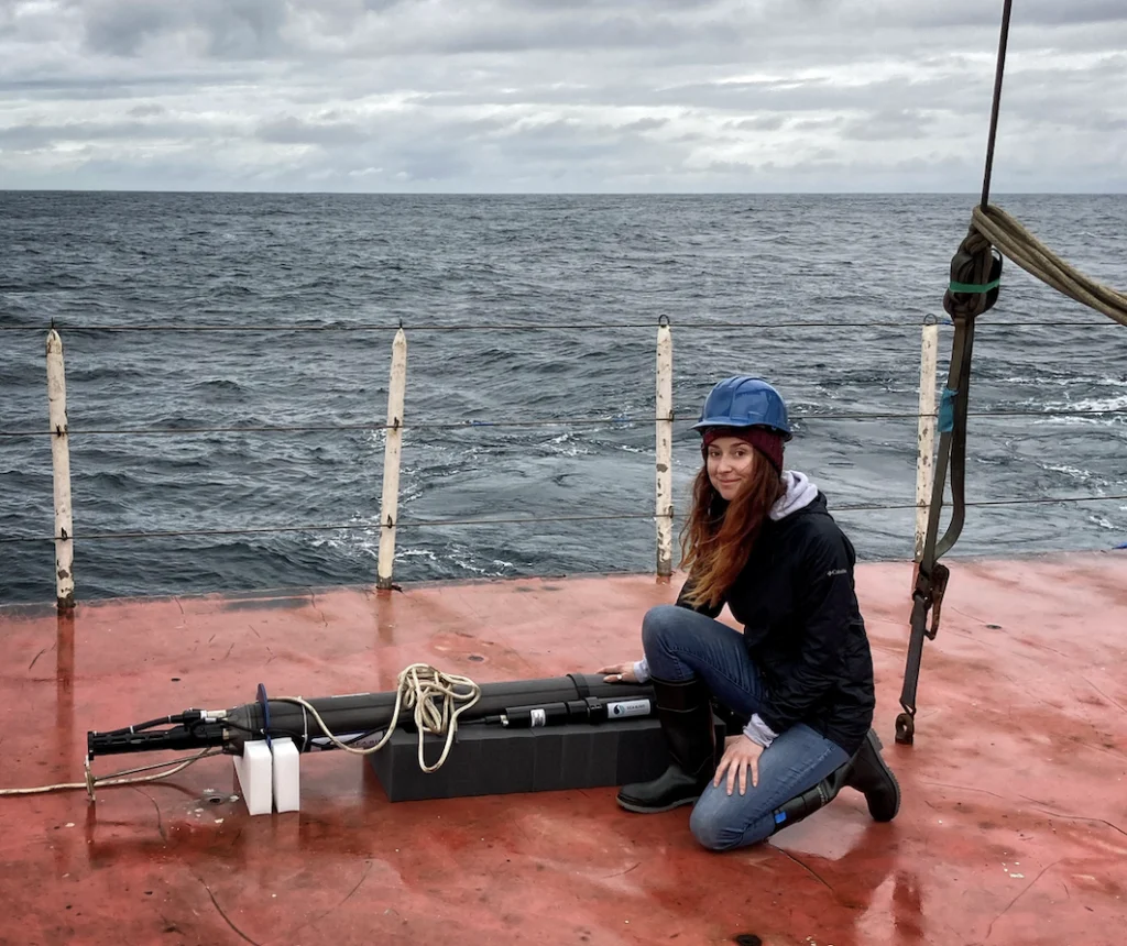
Deep in the central Pacific, near the remote Palmyra Atoll, the sea surface temperature is currently registering approximately one degree Celsius higher than historical averages. While a single degree might seem negligible to a casual observer on a boat deck, this thermal anomaly represents a massive shift in energy that dictates the movement of the jet stream and, ultimately, the severity of winter weather thousands of miles away in the North American Rockies. This critical observation is made possible not by manned research vessels, but by a sophisticated global network of nearly 4,000 autonomous robotic floats known as the Argo program. However, as the world enters a period of heightened climatic volatility, the future of this essential data stream is being jeopardized by a deepening funding crisis within the United States scientific infrastructure.
The Mechanics of Ocean-Atmosphere Coupling
To understand the stakes of the current funding shortfall, one must first understand the profound influence the Pacific Ocean exerts on global weather patterns. Under normal conditions, trade winds blow from east to west across the tropical Pacific, pushing warm surface water toward Indonesia and allowing cooler, nutrient-rich water to well up in the east. When these winds weaken, a feedback loop is initiated: a warm patch of water develops, shifting the atmospheric pressure balance, which further weakens the winds and allows a vast "pool" of warm water to slide eastward.
This shift, often associated with the El Niño-Southern Oscillation (ENSO), alters the location where massive tropical storms form. These storms act as heat engines that redirect the jet stream—the high-altitude river of air that steers weather systems across the globe. For communities in the Western United States, this determines whether a winter will bring record-breaking snowpacks or prolonged drought. Without the real-time data provided by the Argo fleet, meteorologists would be forced to rely on surface-level satellite data, which fails to capture the subsurface heat content that truly drives long-term weather trends.
The Evolution of the Argo Program: From Surface to Deep Sea
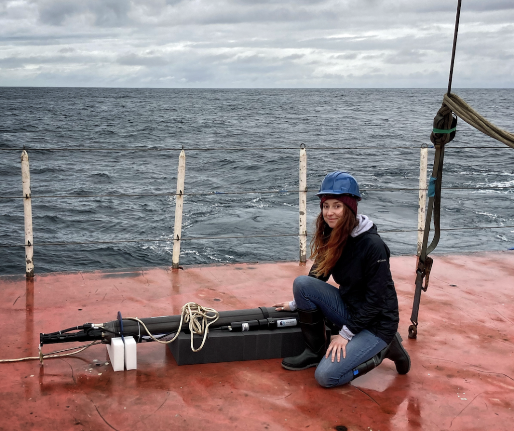
Launched in 1999 and named after the mythical Greek ship Argo, the program was designed to provide a "weather map" of the upper ocean. Since the early 2000s, these floats have revolutionized oceanography by providing a continuous, real-time stream of temperature and salinity data. Each robot operates on a 10-day cycle: it descends to a depth of 2,000 meters (over a mile), drifts with the deep currents, and then rises to the surface, recording a vertical profile of the water column. Once at the surface, the float transmits its data via satellite to global receiving stations before beginning the cycle again.
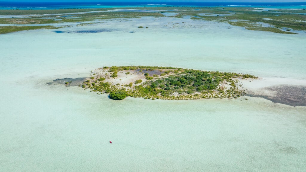
In recent years, the program has expanded its capabilities through two major technological advancements:
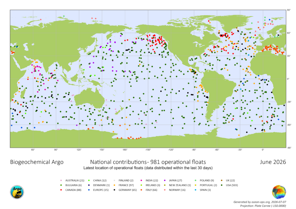
- Biogeochemical (BGC) Argo: These floats are equipped with specialized sensors to measure oxygen levels, pH, nitrate, and chlorophyll. This data is vital for tracking ocean acidification and the health of marine ecosystems, which are increasingly stressed by carbon absorption.
- Deep Argo: Designed to withstand the crushing pressures of the abyss, these floats can dive to depths of 6,000 meters (nearly four miles). This allows scientists to monitor the "deep ocean," a region that holds vast amounts of heat and remains one of the least understood parts of the planet.
Collectively, the Argo network provides approximately 140,000 profiles per year. Before this technology existed, oceanographic data was collected primarily by research ships, a method that is exponentially more expensive and limited by weather conditions and ship availability. Today, an Argo profile costs approximately $200—a fraction of the cost of traditional ship-based research.
A Chronology of the Funding Crisis
Despite the program’s undeniable success, the financial foundation of the U.S. contribution to Argo is crumbling. The United States has historically maintained over half of the global fleet, with funding decentralized across the National Oceanic and Atmospheric Administration (NOAA) and the National Science Foundation (NSF).
The current crisis began when a five-year NSF grant, which funded the deployment of 500 new BGC-Argo floats, expired. Program leaders submitted a proposal for a renewal grant to maintain and replenish the fleet, but that proposal has remained in administrative limbo for over 20 months. Under standard operating procedures, the NSF typically responds to such proposals within six months. This silence, coupled with broader budgetary shifts, has created a vacuum in the program’s planning and manufacturing pipeline.
Dr. Shawnee Traylor, a chemical oceanographer and carbon cycle scientist with the POW Science Alliance, warns that the window for action is closing. “We haven’t been told ‘no’ yet, but we’re running out of time,” Traylor stated. “At a certain point, we start losing jobs and decades of critical technical expertise. Right now, our future funding is uncertain.”
The situation is exacerbated by a broader trend of scientific de-prioritization. Reports indicate that grants for oceanography have been reduced significantly over the last fiscal year, with some sectors seeing funding slashed by half. For the BGC-Argo initiative specifically, there is currently no capital allocated to build new U.S. floats for the upcoming year.
The Role of the Ocean in Climate Regulation
The importance of the Argo program extends beyond immediate weather forecasting into the realm of global climate stability. The world’s oceans absorb approximately 30 percent of all human-generated carbon dioxide emissions and more than 90 percent of the excess heat trapped in the atmosphere by greenhouse gases.
“The ocean stores the bulk of heat and moisture that drives our weather,” Dr. Traylor explained. “Satellites capture the surface, but forecasters need that subsurface picture to understand what’s brewing below and when we’ll see it in the weather.”
One of the most sobering statistics derived from Argo data is the rate of oceanic heat absorption. According to recent studies, the amount of excess heat being absorbed by the ocean is equivalent to detonating 12 atomic bombs every second. This thermal energy causes water molecules to expand—a process known as thermal expansion—which accounts for roughly one-third of global sea-level rise. Without the high-resolution data from Argo, coastal communities would have significantly less lead time to prepare for the accelerating threat of inundation and storm surges.
Economic and Public Safety Implications
The degradation of the Argo network would have immediate "downstream" effects on various sectors of the economy:
- Agriculture and Water Management: Inaccurate snowpack models lead to poor water allocation decisions, affecting farmers and municipal water supplies in the Western U.S.
- Maritime and Defense: Real-time salinity and temperature data are critical for naval operations and safe commercial shipping routes.
- Fisheries: BGC-Argo data helps predict "dead zones" (hypoxic areas) and shifts in fish populations due to warming waters, which is vital for the multi-billion-dollar commercial fishing industry.
- Disaster Preparedness: Forecasting the intensity of hurricanes depends heavily on knowing the heat content of the upper ocean. Sparser data means less warning for residents in the path of intensifying storms.
Political Precedents and the Path to Recovery
The current threat to Argo is not without precedent. In June 2026, a similar crisis faced the Ocean Observatories Initiative (OOI), another vital marine research network. In that instance, a bipartisan coalition led by U.S. Senators Jeff Merkley (D-OR) and Lisa Murkowski (R-AK) intervened. They argued that dismantling such networks jeopardized decades of research and public safety. Their legislative efforts successfully blocked the defunding of OOI, proving that bipartisan support for "blue economy" infrastructure is possible even in a polarized political climate.
A letter signed by 11 U.S. Senators regarding the OOI stated, “The effort to dismantle this vital network, jeopardizing decades of prior research, must be reversed in order to prioritize public safety.” Supporters of the Argo program are now calling for a similar level of Congressional intervention.
Conclusion: The High Cost of Data Gaps
As the U.S. fleet of Argo floats begins to age and fail without replacement, the quality of global ocean data will inevitably decline. Scientists predict that within two years, this gap will manifest as less reliable weather forecasts and a diminished ability to track the pace of climate change.
The Argo program represents one of the most successful international scientific collaborations in history, with data made freely available to the public within 24 hours of collection. However, the reliance on a single nation—the United States—to provide half of the infrastructure has created a single point of failure.
“Public pressure on governments might help,” says Dr. Traylor, “but right now, we need to raise awareness. Even in marine science, many don’t know about the looming threat to one of the most successful research programs in the world.”
For those who rely on the ocean—whether for their livelihood in the fisheries of the North Atlantic or for the snowpacks that feed the ski resorts of the Sierras—the "silent robots" of the Argo fleet are indispensable. The cost of maintaining the program is a fraction of the economic losses that would result from a return to the era of "weather blindness." As the NSF and the current administration weigh their budgetary priorities, the scientific community remains in a state of high alert, watching the horizon for a signal that the funding drought will finally break.
