

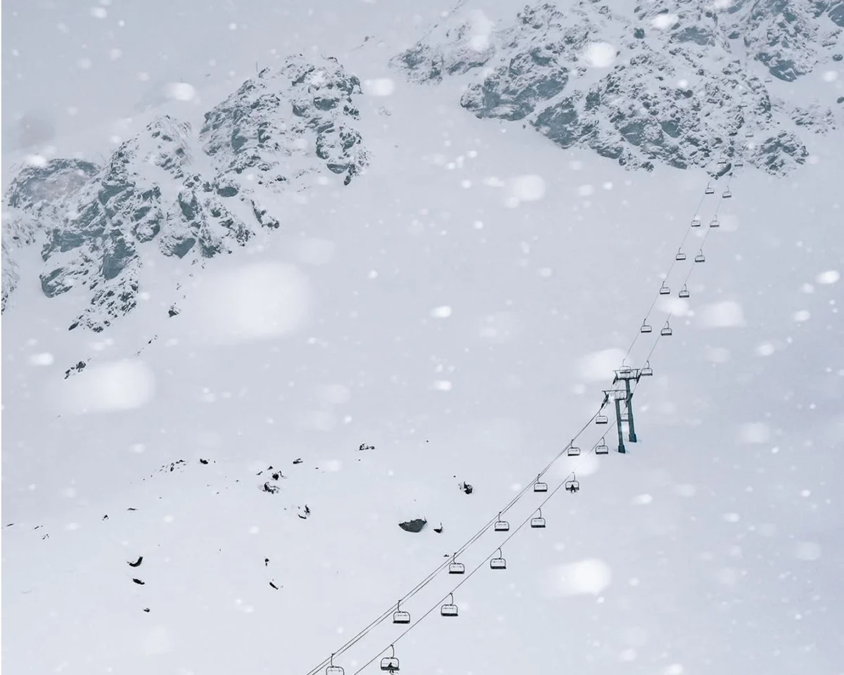
For weeks, the central Andes presented a stark landscape, more akin to late spring than the heart of midwinter. Ski resorts across both Chile and Argentina had been grappling with unprecedented challenges, relying heavily on limited ribbons of machine-made snow, delaying crucial opening dates, and confronting vast stretches of bare ridgelines. This protracted dry spell had left Southern Hemisphere skiers and the global winter sports community questioning if the much-anticipated 2026 ski season would ever truly arrive. Now, that prolonged period of uncertainty appears to be drawing to a definitive close.
A formidable atmospheric river, a meteorological phenomenon characterized by long, narrow bands of moisture in the atmosphere, is currently bearing down on the Andes. Forecasts from leading meteorological agencies and specialized snow forecasters indicate the potential for multiple meters of snowfall across Chile’s premier ski resorts over the coming days. Should these predictions materialize, this monumental storm is poised to do more than simply improve existing conditions; it has the capacity to fundamentally reshape and revitalize the entire 2026 South American ski season, injecting much-needed vitality into a struggling industry.
The Unprecedentedly Slow Start to the 2026 Season
The 2026 ski season commenced with one of the most challenging and snow-deprived starts in recent memory. Across the vast expanse of the central Andes, resorts struggled through weeks characterized by alarmingly thin snow coverage and severely restricted operational terrain. Argentina, in particular, faced significant hurdles. Cerro Catedral, widely recognized as South America’s largest ski resort by skiable terrain, was compelled to open with only a fraction of its slopes accessible, a stark contrast to its usual mid-winter grandeur. Other prominent Argentine resorts, such as Chapelco and Cerro Bayo, either postponed their opening dates or became critically dependent on extensive snowmaking operations to maintain any semblance of skiing.
Chile, while experiencing slightly more favorable conditions due to marginally colder temperatures that aided snowmaking, still endured well-below-average snow depths heading into mid-July. This prolonged lack of natural snowfall had begun to cast a pall over the region’s vital winter tourism sector. Local businesses, from hotels and restaurants to ski rental shops and guide services, reported significant downturns in early-season bookings and revenue, underscoring the economic fragility tied to reliable snowfall. Historically, the central Andes typically receives its most substantial snowfalls between June and August, with July often being the peak. The absence of this usual pattern raised concerns about the long-term health of the season and its impact on thousands of livelihoods.
Understanding the Atmospheric River: A Meteorological Marvel
The dramatic shift in weather patterns is attributed to a "massive long-duration storm fueled by a powerful atmospheric river," as described by OpenSnow meteorologist Luke Stone. Atmospheric rivers are relatively narrow corridors of concentrated moisture in the atmosphere, often thousands of kilometers long, that transport vast quantities of water vapor from the tropics to higher latitudes. When these atmospheric rivers make landfall and encounter mountain ranges, the moisture is lifted, cools, and condenses, leading to intense precipitation, often in the form of heavy snowfall at higher elevations.
Stone’s assessment highlights the potential for this system to reach a Category 4 or even Category 5 intensity. This classification, typically used for the strongest atmospheric rivers, signifies an extreme event capable of delivering exceptional amounts of precipitation. For context, a Category 5 atmospheric river can transport moisture equivalent to 15 to 20 times the average flow of the Mississippi River. The storm initiated its arrival on July 14th, with its most substantial snowfall expected to persist through the weekend and into the early parts of the following week, promising a multi-day deluge.
Forecast models have converged on remarkably high snowfall totals, predicting between one and three-plus meters of new snow across several of Chile’s most iconic resorts. This includes world-renowned destinations such as Valle Nevado, Portillo, and La Parva, as well as the slightly smaller but equally significant Chapa Verde. Farther south, resorts like Nevados de Chillán, Corralco, and Antuco are also expected to receive substantial accumulations, with predictions of an additional one to two meters. Crucially, as colder air masses follow the initial surge of moisture, snow levels are anticipated to steadily decrease, ensuring that significant snowfall will reach even lower elevations, maximizing the skiable terrain.

Portillo: An Early Glimpse of the Deluge
The anticipation and excitement surrounding this weather event are palpable, particularly at resorts like Portillo, which has already begun to experience the storm’s initial effects. In a video widely shared on Instagram, Katie White, Portillo’s esteemed ski school director, provided an early update from the mountain. Standing alongside several of the resort’s seasoned ski professionals, she reported that Portillo had already accumulated approximately 10 centimeters (4 inches) of fresh snow. This initial dusting, however, was merely a prelude, with the core of the storm still days away from unleashing its full fury.
White’s statement underscored the magnitude of the impending snowfall: "This is the biggest storm that I’ve seen forecasted in the 11 years that I’ve worked down here." Her words resonate with the collective sentiment across the region, reflecting a widespread recognition of the storm’s historic potential. "We’re all excited. We’re ready to hunker down and ride it out, and can’t wait to shred with you on the other end of it," she added, perfectly capturing the blend of eager anticipation and pragmatic preparation.
This excitement is, however, tempered by a necessary measure of caution. Recognizing the severity of the forecast and prioritizing guest and staff safety, Portillo proactively closed its operations. Access roads, particularly the winding and exposed sections leading to the resort, were anticipated to become impassable, and the sheer volume of snowfall posed significant operational challenges and avalanche risks. The decision to temporarily cease operations underscores the resort’s commitment to waiting out what could prove to be one of the most significant storm cycles in over a decade. Should the forecasts accurately predict the snowfall, this strategic patience is expected to yield immense rewards once the skies clear and the lifts are cleared to spin again, offering some of the deepest skiing conditions imaginable.
A Transformative Season-Changer for Chile’s Resorts
For the ski resorts nestled within the Chilean Andes, this unprecedented storm is nothing short of the lifeline they have been desperately awaiting. The accumulation of several meters of fresh, cold snow will fundamentally transform the mountains, transitioning them from thinly covered, challenging terrain to expansive, deep powder fields. Once the storm abates, and the critical tasks of avalanche mitigation and hazard assessment are completed, resort operators are poised to begin opening vast swathes of terrain that were simply unskiable or deemed too hazardous just a week prior. This includes high-alpine areas, challenging steeps, and tree runs that have remained dormant throughout the early season.
The immediate impact will be a dramatic improvement in ski quality, offering the "hero snow" conditions that attract enthusiasts globally. Beyond the immediate joy for skiers and snowboarders, the long-term implications for Chile’s ski industry are substantial. A strong snowpack early in the season builds a robust base that can withstand subsequent dry spells and ensures excellent conditions well into the spring. This positive outlook will likely translate into increased bookings, extended stays, and a significant boost to the local economies that rely heavily on winter tourism.
Regional Disparity: Chile’s Advantage Over Argentina
While the storm is a blessing for the Andes, its geographical orientation means that the benefits will not be uniformly distributed across the entire mountain range. Due to the prevailing westerly flow of the atmospheric river, the heaviest precipitation is predominantly expected to remain concentrated on Chile’s western slopes. These slopes act as the first major topographical barrier encountered by the moisture-laden air, forcing it upwards and leading to prodigious snowfall.
Consequently, resorts located on the Argentine side of the Andes, situated in the rain shadow of the towering peaks, are projected to receive considerably lighter snowfall totals. Iconic Argentine resorts such as Cerro Catedral (San Carlos de Bariloche), Chapelco (San Martín de los Andes), and Cerro Bayo (Villa La Angostura) will undoubtedly receive some refreshing snow, but it is unlikely to be on the same scale as their Chilean counterparts. This disparity highlights the complex meteorological dynamics of the Andes and the localized impacts of such powerful weather systems.
Broader Southern Hemisphere Context: Winter’s Global Arrival
The phenomenon of winter finally making a dramatic appearance is not exclusive to the Andes. Other significant Southern Hemisphere ski destinations have also experienced their own turnarounds this season. New Zealand, for instance, saw a remarkable transformation earlier in the month following a substantial storm cycle that blanketed its Southern Alps with up to a meter of snow. Resorts like Mt. Hutt quickly capitalized on the improved conditions, expanding their operations to nearly full capacity. Similarly, Cardrona and Treble Cone, two other popular New Zealand resorts, received significant refreshes, spreading the much-needed powder across the country’s ski fields. This revitalization in New Zealand provided an early beacon of hope for a challenging global Southern Hemisphere winter.

Australia has also witnessed more modest, yet still welcome, improvements. Resorts such as Hotham and Perisher have received enough snow to expand their operational terrain, offering skiers more options than the barren early season. However, despite these improvements, snow coverage in Australia remains generally more limited compared to the robust conditions now being enjoyed in New Zealand, and what is now anticipated for Chile. These developments across the Southern Hemisphere collectively paint a picture of a winter that, despite its initially sluggish start, is now rapidly gaining momentum, bringing relief and renewed enthusiasm to winter sports communities worldwide.
Economic Lifeline and Future Implications
The economic ramifications of this storm for Chile’s ski industry are profound. After a lean start that saw reduced visitor numbers and financial strain, the prospect of meters of fresh snow provides a critical lifeline. Tourism is a significant contributor to Chile’s economy, and winter sports play a crucial role in regional employment and development, particularly in the mountain communities. A robust ski season generates revenue not only for the resorts themselves but also for an entire ecosystem of supporting businesses: hotels, restaurants, transportation services, ski rental shops, and local artisans.
The anticipated "deepest skiing anywhere in the world" could draw international visitors who had postponed or cancelled trips due to the earlier poor conditions. This influx of tourism dollars will help mitigate the losses incurred during the dry spell and support the recovery of local economies. Furthermore, a successful season builds confidence among potential visitors for future years, strengthening Chile’s reputation as a premier global ski destination.
Beyond the immediate economic benefits, the substantial snowpack also contributes to vital water resources. The slow melt of the snow throughout the spring and summer provides crucial water for agriculture, hydroelectric power generation, and municipal supplies in a region often prone to drought conditions. While the primary focus is on recreation, the ecological and resource benefits of such a significant snow event are considerable.
The Bottom Line: A Resurgence for Southern Hemisphere Winter 2026
The Southern Hemisphere winter of 2026, which began with widespread concern and frustration over a lack of snow, is now poised for a dramatic and exhilarating resurgence. New Zealand has already successfully capitalized on its earlier storm cycle, transforming its mountains into winter playgrounds. Now, it is the Andes’ turn to experience its own blockbuster meteorological event.
If the high-confidence forecasts verify, the days immediately following this historic storm could present some of the deepest, most exhilarating skiing conditions available anywhere on the planet. This extraordinary snowfall is not merely a temporary improvement; it holds the power to completely alter the trajectory of South America’s ski season, turning what was once a period of apprehension into one of the most memorable and bountiful winters in recent history. For skiers, snowboarders, and the countless individuals whose livelihoods depend on the allure of snow-covered peaks, this storm represents a profound and welcome turning point.
