

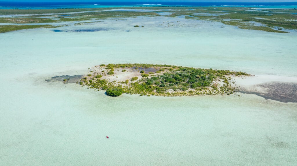
In the remote expanse of the Pacific Ocean, thousands of miles from the nearest mountain range or major metropolitan center, a subtle shift is occurring that could dictate the severity of the coming winter. Near Palmyra Atoll, a small speck of land in the Central Pacific, the sea surface temperature has registered a one-degree Celsius increase above historical averages. While such a marginal change might go unnoticed by a passing vessel, its atmospheric implications are profound. This single degree of warmth is a primary driver in the redirection of the jet stream, serving as a critical indicator for whether snow will fall in the Rocky Mountains or if the region will face a prolonged drought.
The mechanics of this connection are rooted in fundamental meteorology: warm water heats the air directly above it, which in turn lowers the surface pressure over that specific sector of the ocean. Under normal conditions, trade winds blow from east to west across the Pacific, sequestering warm water near Indonesia and keeping the Central Pacific, including Palmyra, relatively cool. However, when these winds weaken, a feedback loop is initiated. A warm patch emerges, the pressure balance shifts, and the trade winds weaken further. This allows a massive pool of warm water to slide eastward, fundamentally altering where storms form over the open ocean and reshuffling the storm tracks that eventually reach North America.
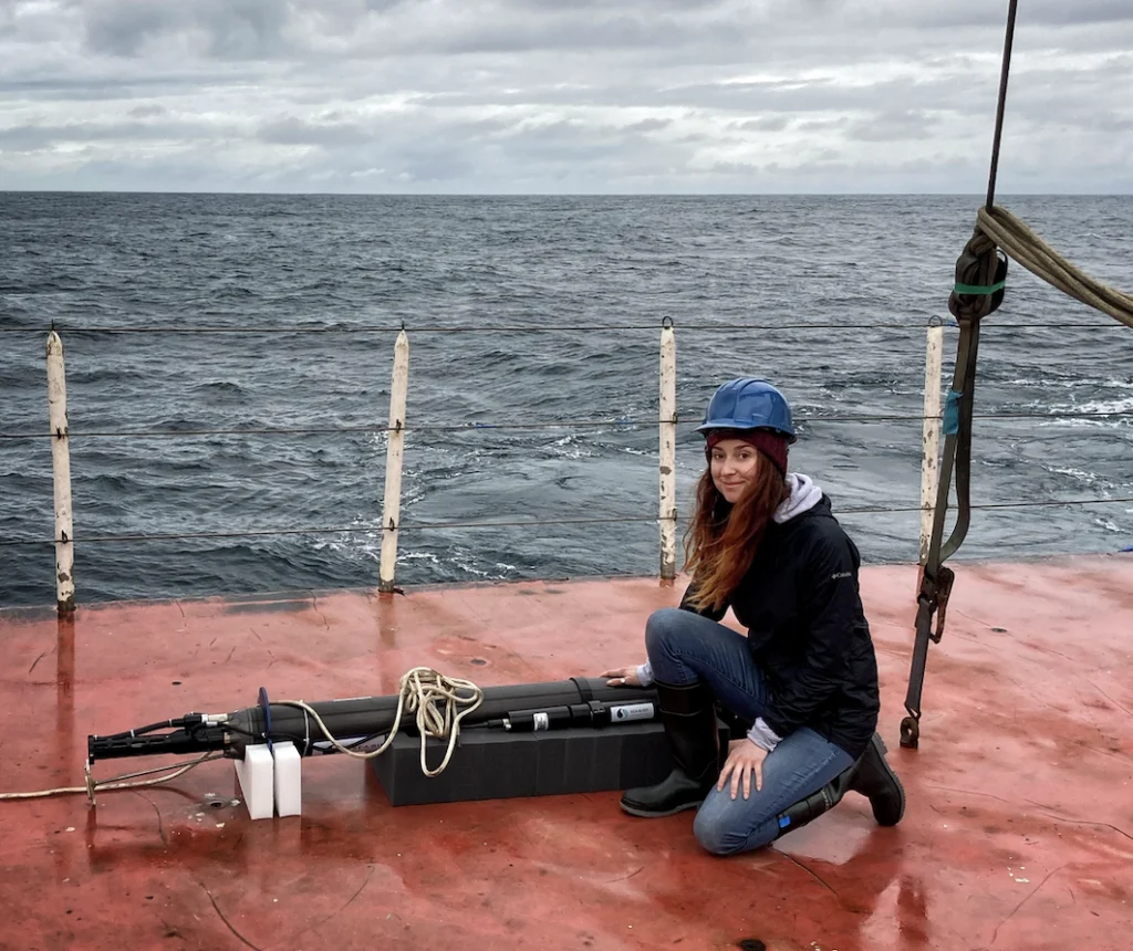
The ability to monitor these shifts in real-time is not the result of manned expeditions or stationary buoys alone. It is made possible by the Argo program, a global fleet of approximately 4,000 autonomous robotic floats that have revolutionized oceanography since the early 2000s. These devices profile the ocean from the surface down to depths of over a mile, surfacing every ten days to transmit data via satellite to global receiving stations. Today, this vital infrastructure faces an existential threat as funding sources dry up and federal support in the United States remains stalled.
The Technological Evolution of Ocean Observation
The Argo program, named after the mythical Greek ship Argo used by Jason and the Argonauts, was conceptualized in 1999 as a partner to the Jason satellite altimeter missions. Before the advent of these autonomous robots, oceanographic data collection was a labor-intensive and prohibitively expensive endeavor. Research vessels were required to travel to specific coordinates, deploy sensors, and manually record data—a process that provided only a "snapshot" of a specific location at a specific time, often ignoring the vast, unmonitored spaces between shipping lanes.
Argo changed this paradigm by providing a continuous, 4D view of the global ocean. The standard Argo float is a high-tech cylinder roughly four feet long, designed to drift at a "park depth" of 1,000 meters. Every ten days, it descends to 2,000 meters before beginning a slow ascent to the surface, measuring temperature, salinity, and pressure throughout the water column. Once it breaks the surface, it transmits this data to the Iridium satellite constellation, making it available to the public and scientific community within 24 hours.
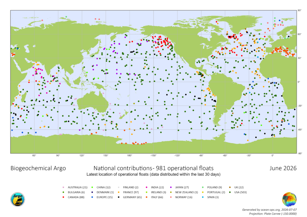
In recent years, the program has expanded into even more sophisticated territory. The Biogeochemical (BGC) Argo floats are equipped with specialized sensors to measure oxygen levels, pH, nitrate, and chlorophyll. These metrics are essential for tracking ocean acidification and the health of marine ecosystems. Furthermore, "Deep Argo" floats have been developed to withstand the crushing pressures of the abyss, traveling up to four miles (6,000 meters) deep to monitor the 50% of the ocean volume that lies below the reach of standard floats.
A Chronology of the Funding Crisis
The current crisis facing the Argo program is a result of a breakdown in the traditional funding pipeline for large-scale scientific infrastructure. While the United States has historically maintained over half of the global Argo fleet, the financial burden is decentralized, relying on contributions from the National Oceanic and Atmospheric Administration (NOAA) and the National Science Foundation (NSF).
- 1999: The Argo program is officially launched, aiming to deploy 3,000 floats globally.
- 2007: The program reaches its initial target of 3,000 active floats, providing the first truly global real-time view of the upper ocean.
- 2021: A pivotal five-year NSF grant is awarded to launch 500 new BGC-Argo floats, intended to modernize the fleet and address climate change more directly.
- 2024: The five-year grant period nears its end. Program leaders submit a renewal proposal to the NSF to maintain and replace aging floats.
- 2025-2026: Under the Trump Administration, federal priorities shift away from climate-centric research. The proposal for the next phase of Argo funding remains in limbo. As of mid-2026, over 20 months have passed without a formal response from the NSF—a process that typically concludes within six months.
Dr. Shawnee Traylor, a chemical oceanographer and member of the POW Science Alliance, notes that the silence from funding agencies is as damaging as an outright rejection. "We haven’t been told no yet, but we’re running out of time," Traylor explains. "At a certain point, we start losing jobs and decades of critical technical expertise. Right now, our future funding is uncertain."
Economic Efficiency and Scientific Necessity
From a fiscal perspective, the Argo program is remarkably cost-effective. Each data profile generated by a float costs approximately $200. In contrast, the daily operating cost of a global-class research vessel can range from $25,000 to $50,000, excluding the costs of crew, fuel, and specialized equipment. To achieve the same density of data provided by the 4,000 Argo floats using traditional ships would cost billions of dollars annually.
Despite this efficiency, the Trump Administration has implemented significant cuts to scientific funding, with climate research being a primary target. Reports indicate that grants for oceanography have been reduced by nearly 50% since the previous fiscal year. For the BGC-Argo initiative, the lack of immediate funding means that no new U.S. floats will be constructed or deployed in the coming year.
"Data quality will start degrading, and within a couple of years, that’ll show up downstream as less reliable forecasts for extreme weather events," says Dr. Traylor. The loss of these "eyes" in the ocean would blind forecasters to the subsurface heat reservoirs that fuel hurricanes and typhoons. While satellites can measure the temperature of the ocean’s skin, they cannot see what is happening beneath the surface. This subsurface data is what allows scientists to determine the total heat content of the ocean—a metric that has grown at a staggering rate.
The Broader Impact: From Fisheries to National Security
The implications of a failing Argo network extend far beyond academic research. The data produced by these floats is a foundational component of modern civilization’s resilience to environmental change.
1. Weather and Agriculture
Every modern weather forecast begins with ocean data. By understanding the heat distribution in the Pacific and Atlantic, meteorologists can predict seasonal precipitation patterns. This is vital for the agricultural sector, where farmers rely on long-range forecasts to decide which crops to plant and when to harvest. A degradation in Argo data would lead to more frequent "forecast misses," potentially costing billions in agricultural losses.
2. Fisheries and Food Security
BGC-Argo floats track the "biological pump" of the ocean—the process by which carbon is moved from the atmosphere to the deep sea. By measuring nitrate and chlorophyll, these floats help manage global fisheries. As ocean temperatures rise, traditional fishing grounds are shifting. Without real-time data on ocean chemistry and oxygen "dead zones," the management of international fishing quotas becomes a guessing game, threatening the food security of billions.
3. Coastal Protection and Sea Level Rise
The ocean absorbs roughly 90% of the excess heat generated by greenhouse gas emissions. This heating causes thermal expansion, which accounts for about one-third of global sea-level rise. Argo data allows scientists to calculate the rate of this expansion with unprecedented precision. For coastal cities like Miami, New York, and New Orleans, this data is the difference between proactive infrastructure investment and reactive disaster recovery.
4. National Security
The U.S. Navy and other maritime forces utilize Argo data to understand acoustic conditions underwater. Salinity and temperature gradients affect how sound travels through the sea, which is critical for sonar operations and submarine detection. A lack of accurate oceanographic data could eventually compromise maritime defense capabilities.
Legislative Precedents and the Path Forward
The current struggle for Argo funding mirrors a recent battle over the Ocean Observatories Initiative (OOI), another critical network of sensors. In early 2026, the OOI faced a similar threat of dismantling due to budget cuts. However, a bipartisan coalition of lawmakers intervened. Senators Jeff Merkley (D-OR) and Lisa Murkowski (R-AK) led a successful effort to restore funding, arguing that the system was essential for public safety and economic stability.
In a letter to the NSF, 11 senators stated, "The effort to dismantle this vital network, jeopardizing decades of prior research, must be reversed in order to prioritize public safety."
The Argo program now requires a similar surge of bipartisan support. Advocates argue that ocean observation should be viewed not as a political choice, but as a piece of critical national infrastructure, akin to the GPS satellite network or the National Weather Service’s radar systems.
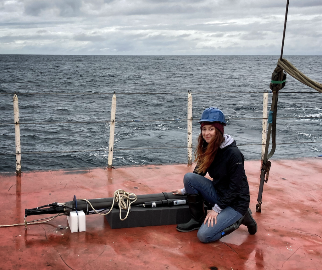
As the global fleet ages and the 20-month funding gap persists, the window to save the program is narrowing. The "robotic floats" currently drifting through the abyss are more than just scientific tools; they are the early warning system for a changing planet. If the fleet is allowed to go dark, the world will lose its most effective means of seeing into the depths of the ocean, leaving us vulnerable to the storms and shifts brewing beneath the waves. For the communities reliant on winter snowpack, the coastal cities facing rising tides, and the farmers watching the skies, the fate of the Argo program is a matter of immediate and vital concern.
